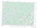
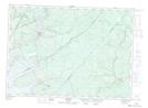
Maps showing The Range, Queens, New Brunswick
The Range is a Unincorporated area located in Queens, New Brunswick.
- Latitude: 45° 59' North (decimal: 45.9833000)
- Longitude: 65° 58' West (decimal: -65.9667000)
- Topography Feature Category: Unincorporated area
- Geographical Feature: Settlement
- Canadian Province/Territory: New Brunswick
- Location: Queens
- GPS Coordinate Locator Map: The Range Lat/Long
The Range NTS Map Sheets