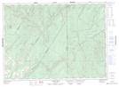
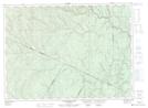
Maps showing Therriault Gulch, Victoria, New Brunswick
Therriault Gulch is a Valley located in Victoria, New Brunswick and has an elevation of 211 meters.
- Latitude: 47° 30' 24'' North (decimal: 47.5066047)
- Longitude: 67° 33' 48'' West (decimal: -67.5633166)
- Topography Feature Category: Valley
- Geographical Feature: Gulch
- Canadian Province/Territory: New Brunswick
- Elevation: 211 meters
- Location: Victoria
- Atlas of Canada Locator Map: Therriault Gulch
- GPS Coordinate Locator Map: Therriault Gulch Lat/Long
Therriault Gulch NTS Map Sheets