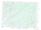
Maps showing O'Leary Ferry, Queens, New Brunswick
O'Leary Ferry is a Road feature located in Queens, New Brunswick.
- Latitude: 46° 6' North (decimal: 46.0999999)
- Longitude: 65° 56' West (decimal: -65.9332999)
- Topography Feature Category: Road feature
- Geographical Feature: Ferry
- Canadian Province/Territory: New Brunswick
- Location: Queens
- GPS Coordinate Locator Map: O'Leary Ferry Lat/Long