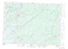
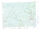
Maps showing Doherty Creek, Sunbury, New Brunswick
Doherty Creek is a River located in Sunbury, New Brunswick.
- Latitude: 46° 11' North (decimal: 46.1833000)
- Longitude: 66° 00' West (decimal: -65.9999999)
- Topography Feature Category: River
- Geographical Feature: Creek
- Canadian Province/Territory: New Brunswick
- Location: Sunbury
- GPS Coordinate Locator Map: Doherty Creek Lat/Long
Doherty Creek NTS Map Sheets