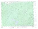
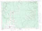
Maps showing Nickel Mill, New Brunswick
Nickel Mill is a Unincorporated area located in New Brunswick.
- Latitude: 47° 31' North (decimal: 47.5166999)
- Longitude: 67° 28' West (decimal: -67.4667000)
- Topography Feature Category: Unincorporated area
- Geographical Feature: Dispersed Rural Community
- Canadian Province/Territory: New Brunswick
- GPS Coordinate Locator Map: Nickel Mill Lat/Long
Nickel Mill NTS Map Sheets