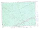
Maps showing Southeast Porter Brook, New Brunswick
Southeast Porter Brook is a River located in New Brunswick.
- Latitude: 46° 31' North (decimal: 46.5167000)
- Longitude: 66° 26' West (decimal: -66.4332999)
- Topography Feature Category: River
- Geographical Feature: Brook
- Canadian Province/Territory: New Brunswick
- GPS Coordinate Locator Map: Southeast Porter Brook Lat/Long