Canada Topographic Maps

Glasier Lake Bluff Topo Maps

Topography maps and Latitude/Longitude Location

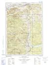
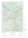
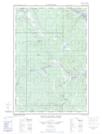
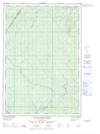
Maps showing Glasier Lake Bluff, Madawaska, New Brunswick

Glasier Lake Bluff is a Cliff located in Madawaska, New Brunswick.

  • Latitude: 47° 14' North   (decimal: 47.2333000)
  • Longitude: 69° 1' West   (decimal: -69.0167000)
  • Topography Feature Category: Cliff
  • Geographical Feature: Bluff
  • Canadian Province/Territory: New Brunswick
  • Location: Madawaska
  • Atlas of Canada Locator Map: Glasier Lake Bluff
  • GPS Coordinate Locator Map: Glasier Lake Bluff Lat/Long

Glasier Lake Bluff NTS Map Sheets

021N02E Connors Topographic Map at 1:50,000 scale

021N02W Connors Topographic Map at 1:50,000 scale

021N03E Little Black River Topographic Map at 1:50,000 scale

021N03W Little Black River Topographic Map at 1:50,000 scale

021N07 Lac-Baker Topographic Map at 1:50,000 scale

021O02 Serpentine Lake Topographic Map at 1:50,000 scale

021N Edmundston Topographic Map at 1:250,000 scale

021O Campbellton Topographic Map at 1:250,000 scale

 
Buy Topographic Maps DVD
Newsletter Sign-up

Yes, I want to receive map store discounts.


Bookmark and Share