Maps showing Restigouche, New Brunswick
Restigouche is a Geographical area located in New Brunswick.
- Latitude: 47° 40' North (decimal: 47.6666999)
- Longitude: 67° 0' West (decimal: -67.0000000)
- Topography Feature Category: Geographical area
- Geographical Feature: County
- Canadian Province/Territory: New Brunswick
- Atlas of Canada Locator Map: Restigouche
- GPS Coordinate Locator Map: Restigouche Lat/Long
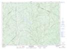
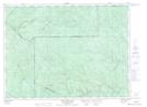
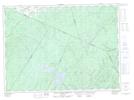
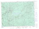
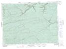
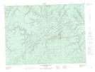
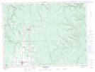
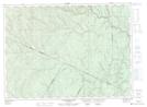
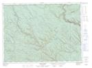
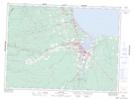
Restigouche NTS Map Sheets
021N09 Grandmaison Topographic Map at 1:50,000 scale
021N16 Wild Goose Lake Topographic Map at 1:50,000 scale
021O06 Sisson Branch Reservoir Topographic Map at 1:50,000 scale
021O07 Nepisiguit Lakes Topographic Map at 1:50,000 scale
021O08 California Lake Topographic Map at 1:50,000 scale
021O09 Tetagouche Lakes Topographic Map at 1:50,000 scale
021O10 Upsalquitch Forks Topographic Map at 1:50,000 scale
021O11 Kedgwick Topographic Map at 1:50,000 scale
021O12 Gounamitz River Topographic Map at 1:50,000 scale
021O13 States Brook Topographic Map at 1:50,000 scale
021O14 Menneval Topographic Map at 1:50,000 scale
021O15 Atholville Topographic Map at 1:50,000 scale
021O16 Charlo Topographic Map at 1:50,000 scale
021P12 Bathurst Topographic Map at 1:50,000 scale
021P13 Pointe Verte Topographic Map at 1:50,000 scale
022B01 Escuminac Topographic Map at 1:50,000 scale
022B02 Oak-Bay Topographic Map at 1:50,000 scale
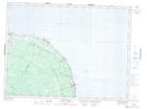
021N Edmundston Topographic Map at 1:250,000 scale
021O Campbellton Topographic Map at 1:250,000 scale
021P Bathurst Topographic Map at 1:250,000 scale
022B Matane Topographic Map at 1:250,000 scale