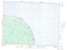
Maps showing Jacquet River Station, New Brunswick
Jacquet River Station is a Unincorporated area located in New Brunswick.
- Latitude: 47° 55' North (decimal: 47.9166999)
- Longitude: 66° 00' West (decimal: -65.9999999)
- Topography Feature Category: Unincorporated area
- Geographical Feature: Post Office
- Canadian Province/Territory: New Brunswick
- GPS Coordinate Locator Map: Jacquet River Station Lat/Long
Jacquet River Station NTS Map Sheets