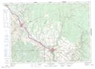
Maps showing St. André de Madawaska, New Brunswick
St. André de Madawaska is a Village located in New Brunswick.
- Latitude: 47° 6' 5'' North (decimal: 47.1013999)
- Longitude: 67° 45' 35'' West (decimal: -67.7596999)
- Topography Feature Category: Village
- Geographical Feature: Village
- Canadian Province/Territory: New Brunswick
- GPS Coordinate Locator Map: St. André de Madawaska Lat/Long
St. André de Madawaska NTS Map Sheets