Maps showing Rivière Aguanus, Aguanish; Minganie, Quebec
Rivière Aguanus is a River located in Aguanish; Minganie, Quebec and has an elevation of 104 meters.
- Latitude: 50° 13' 5'' North (decimal: 50.2181276)
- Longitude: 62° 5' 7'' West (decimal: -62.0853777)
- Topography Feature Category: River
- Geographical Feature: Rivière
- Canadian Province/Territory: Quebec
- Elevation: 104 meters
- Location: Aguanish; Minganie
- GPS Coordinate Locator Map: Rivière Aguanus Lat/Long
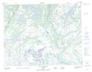
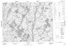
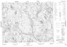
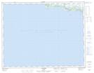
Rivière Aguanus NTS Map Sheets
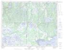
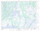
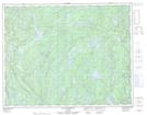
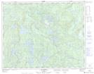
012K05 Lac Paimpont Topographic Map at 1:50,000 scale
012K12 Lac Victor Topographic Map at 1:50,000 scale
012K13 Lac Rancin Topographic Map at 1:50,000 scale
012L01 Aguanish Topographic Map at 1:50,000 scale
012L06 Lac A L'Ours Topographic Map at 1:50,000 scale
012L08 Baie Pashashibou Topographic Map at 1:50,000 scale
012L16 Lac Gaudreault Topographic Map at 1:50,000 scale
012M01 Lac Arthur Topographic Map at 1:50,000 scale
012M07 Lac Saumur Topographic Map at 1:50,000 scale
012M08 Lac Barrin Topographic Map at 1:50,000 scale
012M10 Lac Ripault Topographic Map at 1:50,000 scale
012M11 Lac Garneau Topographic Map at 1:50,000 scale
012N04 Lac Cormier Topographic Map at 1:50,000 scale
012K Musquaro Topographic Map at 1:250,000 scale
012L Havre-Saint-Pierre Topographic Map at 1:250,000 scale
012M Lac De Morhiban Topographic Map at 1:250,000 scale
012N Riviere Natashquan Topographic Map at 1:250,000 scale