Canada Topographic Maps

Rivière de l'Aigle Topo Maps

Topography maps and Latitude/Longitude Location

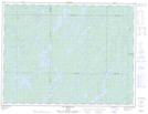
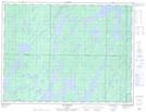
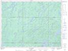
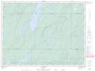
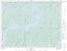
Maps showing Rivière de l'Aigle, Baie-James; Jamésie, Quebec

Rivière de l'Aigle is a River located in Baie-James; Jamésie, Quebec and has an elevation of 361 meters.

  • Latitude: 49° 23' 31'' North   (decimal: 49.3919444)
  • Longitude: 75° 7' 45'' West   (decimal: -75.1291667)
  • Topography Feature Category: River
  • Geographical Feature: Rivière
  • Canadian Province/Territory: Quebec
  • Elevation: 361 meters
  • Location: Baie-James; Jamésie
  • Atlas of Canada Locator Map: Rivière de l'Aigle
  • GPS Coordinate Locator Map: Rivière de l'Aigle Lat/Long

Rivière de l'Aigle NTS Map Sheets

032B12 Lac Megiscane Topographic Map at 1:50,000 scale

032B13 Lac Mesplet Topographic Map at 1:50,000 scale

032B14 Lac Lagace Topographic Map at 1:50,000 scale

032G03 Lac Hebert Topographic Map at 1:50,000 scale

032G06 Lac Doda Topographic Map at 1:50,000 scale

032B Reservoir Gouin Topographic Map at 1:250,000 scale

032G Chibougamau Topographic Map at 1:250,000 scale

 
Buy Topographic Maps DVD
Newsletter Sign-up

Yes, I want to receive map store discounts.


Bookmark and Share