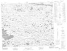
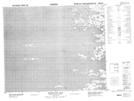
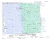
Maps showing Baie Akwatuk, Baie-James; Jamésie, Quebec
Baie Akwatuk is a Bay located in Baie-James; Jamésie, Quebec.
- Latitude: 53° 38' 58'' North (decimal: 53.6494444)
- Longitude: 79° 4' 32'' West (decimal: -79.0755556)
- Topography Feature Category: Bay
- Geographical Feature: Baie
- Canadian Province/Territory: Quebec
- Location: Baie-James; Jamésie
- GPS Coordinate Locator Map: Baie Akwatuk Lat/Long
Baie Akwatuk NTS Map Sheets