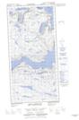
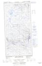
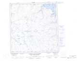
Maps showing Mont Albert-Low, Rivière-Koksoak; Kativik, Quebec
Mont Albert-Low is a Mountain located in Rivière-Koksoak; Kativik, Quebec and has an elevation of 496 meters.
- Latitude: 61° 43' 22'' North (decimal: 61.7227778)
- Longitude: 72° 13' 8'' West (decimal: -72.2188889)
- Topography Feature Category: Mountain
- Geographical Feature: Mont
- Canadian Province/Territory: Quebec
- Elevation: 496 meters
- Location: Rivière-Koksoak; Kativik
- Atlas of Canada Locator Map: Mont Albert-Low
- GPS Coordinate Locator Map: Mont Albert-Low Lat/Long
Mont Albert-Low NTS Map Sheets