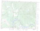
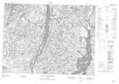
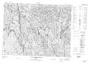
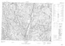
Maps showing Rivière Alex, Saint-Ludger-de-Milot; Lac-Saint-Jean-Est, Quebec
Rivière Alex is a River located in Saint-Ludger-de-Milot; Lac-Saint-Jean-Est, Quebec and has an elevation of 269 meters.
- Latitude: 48° 50' 27'' North (decimal: 48.8408722)
- Longitude: 71° 45' 50'' West (decimal: -71.7639718)
- Topography Feature Category: River
- Geographical Feature: Rivière
- Canadian Province/Territory: Quebec
- Elevation: 269 meters
- Location: Saint-Ludger-de-Milot; Lac-Saint-Jean-Est
- Atlas of Canada Locator Map: Rivière Alex
- GPS Coordinate Locator Map: Rivière Alex Lat/Long
Rivière Alex NTS Map Sheets