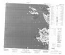
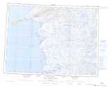
Maps showing Cap Anderson, Baie-d'Hudson; Kativik, Quebec
Cap Anderson is a Cape located in Baie-d'Hudson; Kativik, Quebec.
- Latitude: 60° 3' 53'' North (decimal: 60.0647053)
- Longitude: 77° 38' 16'' West (decimal: -77.6376516)
- Topography Feature Category: Cape
- Geographical Feature: Pointe
- Canadian Province/Territory: Quebec
- Location: Baie-d'Hudson; Kativik
- GPS Coordinate Locator Map: Cap Anderson Lat/Long
Cap Anderson NTS Map Sheets