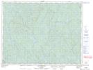
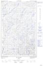
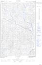
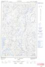
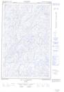
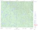
Maps showing Rivière à l'Argent, Rivière-aux-Outardes; Manicouagan, Quebec
Rivière à l'Argent is a River located in Rivière-aux-Outardes; Manicouagan, Quebec and has an elevation of 481 meters.
- Latitude: 50° 22' 40'' North (decimal: 50.3777778)
- Longitude: 69° 18' 5'' West (decimal: -69.3013889)
- Topography Feature Category: River
- Geographical Feature: Rivière
- Canadian Province/Territory: Quebec
- Elevation: 481 meters
- Location: Rivière-aux-Outardes; Manicouagan
- Atlas of Canada Locator Map: Rivière à l'Argent
- GPS Coordinate Locator Map: Rivière à l'Argent Lat/Long
Rivière à l'Argent NTS Map Sheets