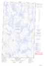
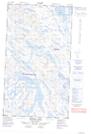
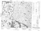
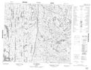
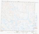
Maps showing Lac Arjay, Rivière-Koksoak; Kativik, Quebec
Lac Arjay is a Lake located in Rivière-Koksoak; Kativik, Quebec and has an elevation of 479 meters.
- Latitude: 54° 59' 58'' North (decimal: 54.9994444)
- Longitude: 65° 27' 0'' West (decimal: -65.4500000)
- Topography Feature Category: Lake
- Geographical Feature: Lac
- Canadian Province/Territory: Quebec
- Elevation: 479 meters
- Location: Rivière-Koksoak; Kativik
- Atlas of Canada Locator Map: Lac Arjay
- GPS Coordinate Locator Map: Lac Arjay Lat/Long
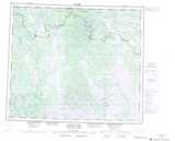
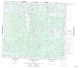
Lac Arjay NTS Map Sheets
023I13E Marion Lake Topographic Map at 1:50,000 scale
023I13W Marion Lake Topographic Map at 1:50,000 scale
023I14 Lac Potel Topographic Map at 1:50,000 scale
023P03 Lac Vreisnic Topographic Map at 1:50,000 scale
023P04 Lac Griffis Topographic Map at 1:50,000 scale
023I Woods Lake Topographic Map at 1:250,000 scale
023P Lac Resolution Topographic Map at 1:250,000 scale