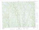
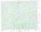
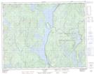
Maps showing Lac Arthur, Lac-Walker; Sept-Rivières, Quebec
Lac Arthur is a Lake located in Lac-Walker; Sept-Rivières, Quebec and has an elevation of 517 meters.
- Latitude: 50° 46' 1'' North (decimal: 50.7669444)
- Longitude: 67° 31' 57'' West (decimal: -67.5325)
- Topography Feature Category: Lake
- Geographical Feature: Lac
- Canadian Province/Territory: Quebec
- Elevation: 517 meters
- Location: Lac-Walker; Sept-Rivières
- Atlas of Canada Locator Map: Lac Arthur
- GPS Coordinate Locator Map: Lac Arthur Lat/Long
Lac Arthur NTS Map Sheets