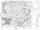
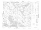
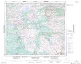
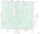
Maps showing Lac Audiepvre, Rivière-Koksoak; Kativik, Quebec
Lac Audiepvre is a Lake located in Rivière-Koksoak; Kativik, Quebec and has an elevation of 449 meters.
- Latitude: 55° 40' 56'' North (decimal: 55.6822222)
- Longitude: 63° 57' 34'' West (decimal: -63.9594444)
- Topography Feature Category: Lake
- Geographical Feature: Lac
- Canadian Province/Territory: Quebec
- Elevation: 449 meters
- Location: Rivière-Koksoak; Kativik
- Atlas of Canada Locator Map: Lac Audiepvre
- GPS Coordinate Locator Map: Lac Audiepvre Lat/Long
Lac Audiepvre NTS Map Sheets