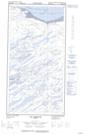
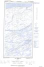
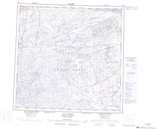
Maps showing Île Basking, Lac-Juillet; Caniapiscau, Quebec
Île Basking is a Island located in Lac-Juillet; Caniapiscau, Quebec.
- Latitude: 59° 59' 22'' North (decimal: 59.9893819)
- Longitude: 70° 4' 58'' West (decimal: -70.0828483)
- Topography Feature Category: Island
- Geographical Feature: Île / Ile
- Canadian Province/Territory: Quebec
- Location: Lac-Juillet; Caniapiscau
- Atlas of Canada Locator Map: Île Basking
- GPS Coordinate Locator Map: Île Basking Lat/Long
Île Basking NTS Map Sheets