Canada Topographic Maps

Lac Bazil Topo Maps

Topography maps and Latitude/Longitude Location

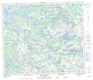
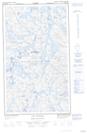
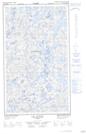
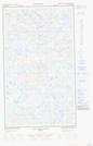
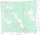
Maps showing Lac Bazil, Caniapiscau; Caniapiscau, Quebec

Lac Bazil is a Lake located in Caniapiscau; Caniapiscau, Quebec and has an elevation of 573 meters.

  • Latitude: 54° 43' 17'' North   (decimal: 54.7213889)
  • Longitude: 67° 25' 42'' West   (decimal: -67.4283333)
  • Topography Feature Category: Lake
  • Geographical Feature: Lac
  • Canadian Province/Territory: Quebec
  • Elevation: 573 meters
  • Location: Caniapiscau; Caniapiscau
  • Atlas of Canada Locator Map: Lac Bazil
  • GPS Coordinate Locator Map: Lac Bazil Lat/Long

Lac Bazil NTS Map Sheets

023J11 Lac Clugny Topographic Map at 1:50,000 scale

023J12E Lac Avezac Topographic Map at 1:50,000 scale

023J12W Lac Avezac Topographic Map at 1:50,000 scale

023J13E Lac Bringadin Topographic Map at 1:50,000 scale

023J13W Lac Bringadin Topographic Map at 1:50,000 scale

023J14 Elross Lake Topographic Map at 1:50,000 scale

023J Schefferville Topographic Map at 1:250,000 scale

 
Buy Topographic Maps DVD
Newsletter Sign-up

Yes, I want to receive map store discounts.


Bookmark and Share