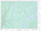
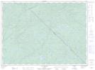
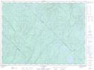
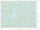
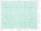
Maps showing Rivière Bazin, Lac-Oscar; Antoine-Labelle, Quebec
Rivière Bazin is a River located in Lac-Oscar; Antoine-Labelle, Quebec and has an elevation of 365 meters.
- Latitude: 47° 28' 42'' North (decimal: 47.4784001)
- Longitude: 75° 22' 00'' West (decimal: -75.3665634)
- Topography Feature Category: River
- Geographical Feature: Rivière
- Canadian Province/Territory: Quebec
- Elevation: 365 meters
- Location: Lac-Oscar; Antoine-Labelle
- Atlas of Canada Locator Map: Rivière Bazin
- GPS Coordinate Locator Map: Rivière Bazin Lat/Long
Rivière Bazin NTS Map Sheets
031O06 Lac Duplessis Topographic Map at 1:50,000 scale
031O10 Lac Peabody Topographic Map at 1:50,000 scale
031O11 Lac Nasigon Topographic Map at 1:50,000 scale
031O15 Parent Topographic Map at 1:50,000 scale
032B02 Lac Dugre Topographic Map at 1:50,000 scale
031O Lac Kempt Topographic Map at 1:250,000 scale
032B Reservoir Gouin Topographic Map at 1:250,000 scale