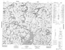
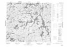
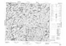
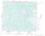
Maps showing Lac Beaujolais, Rivière-Koksoak; Kativik, Quebec
Lac Beaujolais is a Lake located in Rivière-Koksoak; Kativik, Quebec.
- Latitude: 54° 59' 34'' North (decimal: 54.9927778)
- Longitude: 70° 46' 29'' West (decimal: -70.7747222)
- Topography Feature Category: Lake
- Geographical Feature: Lac
- Canadian Province/Territory: Quebec
- Location: Rivière-Koksoak; Kativik
- Atlas of Canada Locator Map: Lac Beaujolais
- GPS Coordinate Locator Map: Lac Beaujolais Lat/Long
Lac Beaujolais NTS Map Sheets