Maps showing Rivière Bell, Baie-James; Jamésie, Quebec
Rivière Bell is a River located in Baie-James; Jamésie, Quebec and has an elevation of 265 meters.
- Latitude: 49° 48' 46'' North (decimal: 49.8127778)
- Longitude: 77° 39' 19'' West (decimal: -77.6552778)
- Topography Feature Category: River
- Geographical Feature: Rivière
- Canadian Province/Territory: Quebec
- Elevation: 265 meters
- Location: Baie-James; Jamésie
- Atlas of Canada Locator Map: Rivière Bell
- GPS Coordinate Locator Map: Rivière Bell Lat/Long
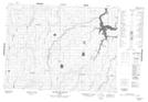
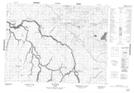
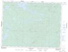
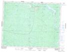
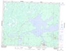
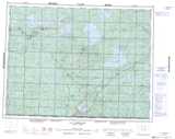
Rivière Bell NTS Map Sheets
032C06 Senneterre Topographic Map at 1:50,000 scale
032C11 Rochebaucourt Topographic Map at 1:50,000 scale
032C14 Despinassy Topographic Map at 1:50,000 scale
032F03 Passage Du Granite Topographic Map at 1:50,000 scale
032F05 Riviere Des Indiens Topographic Map at 1:50,000 scale
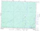
032F06 Ile Canica Topographic Map at 1:50,000 scale
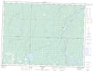
032F11 Riviere Opaoca Topographic Map at 1:50,000 scale
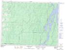
032F12 Ile Bancroft Topographic Map at 1:50,000 scale
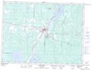
032F13 Matagami Topographic Map at 1:50,000 scale
032C Senneterre Topographic Map at 1:250,000 scale
032F Lac Waswanipi Topographic Map at 1:250,000 scale