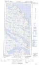
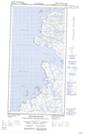
Maps showing Havre Blandford, Rivière-Koksoak; Kativik, Quebec
Havre Blandford is a Bay located in Rivière-Koksoak; Kativik, Quebec.
- Latitude: 60° 26' 14'' North (decimal: 60.4372222)
- Longitude: 64° 33' 10'' West (decimal: -64.5527778)
- Topography Feature Category: Bay
- Geographical Feature: Havre
- Canadian Province/Territory: Quebec
- Location: Rivière-Koksoak; Kativik
- Atlas of Canada Locator Map: Havre Blandford
- GPS Coordinate Locator Map: Havre Blandford Lat/Long
Havre Blandford NTS Map Sheets