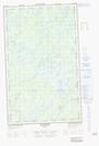
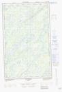
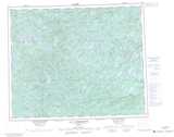
Maps showing Île Bohier, Baie-James; Jamésie, Quebec
Île Bohier is a Island located in Baie-James; Jamésie, Quebec.
- Latitude: 52° 23' 46'' North (decimal: 52.3961111)
- Longitude: 72° 14' 40'' West (decimal: -72.2444444)
- Topography Feature Category: Island
- Geographical Feature: Île / Ile
- Canadian Province/Territory: Quebec
- Location: Baie-James; Jamésie
- Atlas of Canada Locator Map: Île Bohier
- GPS Coordinate Locator Map: Île Bohier Lat/Long
Île Bohier NTS Map Sheets