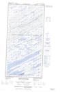
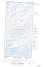
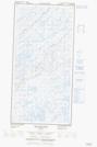
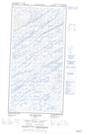
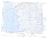
Maps showing Lac Bourget, Baie-d'Hudson; Kativik, Quebec
Lac Bourget is a Lake located in Baie-d'Hudson; Kativik, Quebec and has an elevation of 20 meters.
- Latitude: 60° 47' 34'' North (decimal: 60.7927795)
- Longitude: 77° 30' 12'' West (decimal: -77.5032486)
- Topography Feature Category: Lake
- Geographical Feature: Lac
- Canadian Province/Territory: Quebec
- Elevation: 20 meters
- Location: Baie-d'Hudson; Kativik
- Atlas of Canada Locator Map: Lac Bourget
- GPS Coordinate Locator Map: Lac Bourget Lat/Long
Lac Bourget NTS Map Sheets