Canada Topographic Maps

Rivière Brochant Topo Maps

Topography maps and Latitude/Longitude Location

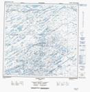
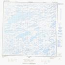
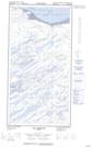
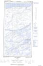
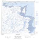
Maps showing Rivière Brochant, Rivière-Koksoak; Kativik, Quebec

Rivière Brochant is a River located in Rivière-Koksoak; Kativik, Quebec and has an elevation of 114 meters.

  • Latitude: 59° 55' 12'' North   (decimal: 59.9199328)
  • Longitude: 69° 45' 53'' West   (decimal: -69.7647889)
  • Topography Feature Category: River
  • Geographical Feature: Rivière
  • Canadian Province/Territory: Quebec
  • Elevation: 114 meters
  • Location: Rivière-Koksoak; Kativik
  • Atlas of Canada Locator Map: Rivière Brochant
  • GPS Coordinate Locator Map: Rivière Brochant Lat/Long

Rivière Brochant NTS Map Sheets

024M09 Lac Lefroy Topographic Map at 1:50,000 scale

024M10 Lac Peters Topographic Map at 1:50,000 scale

024M16E Lac Morgan Topographic Map at 1:50,000 scale

024M16W Lac Morgan Topographic Map at 1:50,000 scale

024N13 Baie Brochant Topographic Map at 1:50,000 scale

024M Lac Peters Topographic Map at 1:250,000 scale

024N Hopes Advance Bay Topographic Map at 1:250,000 scale

 
Buy Topographic Maps DVD
Newsletter Sign-up

Yes, I want to receive map store discounts.


Bookmark and Share