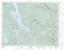
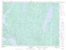
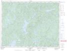
Maps showing Rivière au Brochet, Lac-au-Brochet; La Haute-Côte-Nord, Quebec
Rivière au Brochet is a River located in Lac-au-Brochet; La Haute-Côte-Nord, Quebec and has an elevation of 156 meters.
- Latitude: 49° 23' 3'' North (decimal: 49.3842127)
- Longitude: 69° 37' 20'' West (decimal: -69.6223094)
- Topography Feature Category: River
- Geographical Feature: Rivière
- Canadian Province/Territory: Quebec
- Elevation: 156 meters
- Location: Lac-au-Brochet; La Haute-Côte-Nord
- Atlas of Canada Locator Map: Rivière au Brochet
- GPS Coordinate Locator Map: Rivière au Brochet Lat/Long
Rivière au Brochet NTS Map Sheets