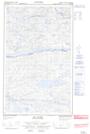
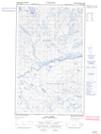
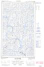
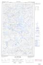
Maps showing Rivière aux Brochets, Lac-Jérôme; Minganie, Quebec
Rivière aux Brochets is a River located in Lac-Jérôme; Minganie, Quebec and has an elevation of 639 meters.
- Latitude: 52° 38' 9'' North (decimal: 52.6358333)
- Longitude: 63° 48' 44'' West (decimal: -63.8122222)
- Topography Feature Category: River
- Geographical Feature: Rivière
- Canadian Province/Territory: Quebec
- Elevation: 639 meters
- Location: Lac-Jérôme; Minganie
- Atlas of Canada Locator Map: Rivière aux Brochets
- GPS Coordinate Locator Map: Rivière aux Brochets Lat/Long
Rivière aux Brochets NTS Map Sheets