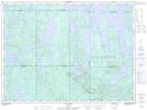
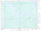
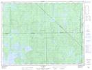
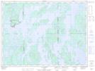
Maps showing Lac Brochu, La Tuque; Le Haut-Saint-Maurice, Quebec
Lac Brochu is a Lake located in La Tuque; Le Haut-Saint-Maurice, Quebec.
- Latitude: 48° 29' 56'' North (decimal: 48.4988889)
- Longitude: 74° 27' 40'' West (decimal: -74.4611111)
- Topography Feature Category: Lake
- Geographical Feature: Partie de réservoir
- Canadian Province/Territory: Quebec
- Location: La Tuque; Le Haut-Saint-Maurice
- Atlas of Canada Locator Map: Lac Brochu
- GPS Coordinate Locator Map: Lac Brochu Lat/Long
Lac Brochu NTS Map Sheets