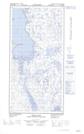
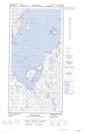
Maps showing Pointe Buteo, Rivière-Koksoak; Kativik, Quebec
Pointe Buteo is a Cape located in Rivière-Koksoak; Kativik, Quebec and has an elevation of 6 meters.
- Latitude: 60° 50' 32'' North (decimal: 60.8421707)
- Longitude: 69° 59' 31'' West (decimal: -69.9918202)
- Topography Feature Category: Cape
- Geographical Feature: Pointe
- Canadian Province/Territory: Quebec
- Elevation: 6 meters
- Location: Rivière-Koksoak; Kativik
- Atlas of Canada Locator Map: Pointe Buteo
- GPS Coordinate Locator Map: Pointe Buteo Lat/Long
Pointe Buteo NTS Map Sheets