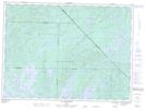
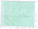
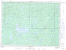
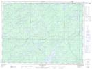
Maps showing Rivière Camachigama, Senneterre; Vallée-de-l'Or, Quebec
Rivière Camachigama is a River located in Senneterre; Vallée-de-l'Or, Quebec and has an elevation of 357 meters.
- Latitude: 47° 40' 6'' North (decimal: 47.6684126)
- Longitude: 76° 32' 9'' West (decimal: -76.5357879)
- Topography Feature Category: River
- Geographical Feature: Rivière
- Canadian Province/Territory: Quebec
- Elevation: 357 meters
- Location: Senneterre; Vallée-de-l'Or
- Atlas of Canada Locator Map: Rivière Camachigama
- GPS Coordinate Locator Map: Rivière Camachigama Lat/Long
Rivière Camachigama NTS Map Sheets