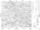
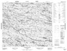
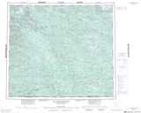
Maps showing Lac Charles, Baie-d'Hudson; Kativik, Quebec
Lac Charles is a Lake located in Baie-d'Hudson; Kativik, Quebec.
- Latitude: 55° 13' 24'' North (decimal: 55.2233333)
- Longitude: 74° 47' 47'' West (decimal: -74.7963889)
- Topography Feature Category: Lake
- Geographical Feature: Lac
- Canadian Province/Territory: Quebec
- Location: Baie-d'Hudson; Kativik
- GPS Coordinate Locator Map: Lac Charles Lat/Long
Lac Charles NTS Map Sheets