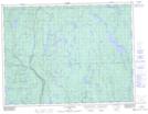
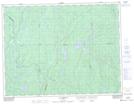
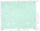
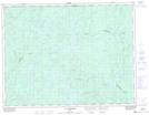
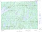
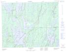
Maps showing Rivière du Chef, Lac-Ashuapmushuan; Le Domaine-du-Roy, Quebec
Rivière du Chef is a River located in Lac-Ashuapmushuan; Le Domaine-du-Roy, Quebec and has an elevation of 372 meters.
- Latitude: 49° 20' 21'' North (decimal: 49.3392226)
- Longitude: 73° 23' 34'' West (decimal: -73.3928808)
- Topography Feature Category: River
- Geographical Feature: Rivière
- Canadian Province/Territory: Quebec
- Elevation: 372 meters
- Location: Lac-Ashuapmushuan; Le Domaine-du-Roy
- Atlas of Canada Locator Map: Rivière du Chef
- GPS Coordinate Locator Map: Rivière du Chef Lat/Long
Rivière du Chef NTS Map Sheets
032H06 Lac Desautels Topographic Map at 1:50,000 scale
032H11 Lac Bourgat Topographic Map at 1:50,000 scale
032H12 Lac Dobleau Topographic Map at 1:50,000 scale
032H13 Lac Mitshisso Topographic Map at 1:50,000 scale
032I04 Lac Des Canots Topographic Map at 1:50,000 scale
032I05 Baie-Du-Poste Topographic Map at 1:50,000 scale
032H Riviere Mistassini Topographic Map at 1:250,000 scale
032I Baie Abatagouche Topographic Map at 1:250,000 scale