Canada Topographic Maps

Rivière Chibougamau Topo Maps

Topography maps and Latitude/Longitude Location

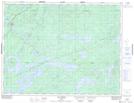
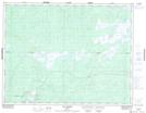
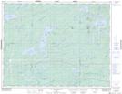
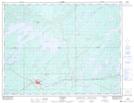
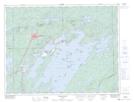
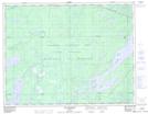
Maps showing Rivière Chibougamau, Baie-James; Jamésie, Quebec

Rivière Chibougamau is a River located in Baie-James; Jamésie, Quebec and has an elevation of 301 meters.

  • Latitude: 49° 41' 13'' North   (decimal: 49.6869444)
  • Longitude: 75° 57' 44'' West   (decimal: -75.9622222)
  • Topography Feature Category: River
  • Geographical Feature: Rivière
  • Canadian Province/Territory: Quebec
  • Elevation: 301 meters
  • Location: Baie-James; Jamésie
  • Atlas of Canada Locator Map: Rivière Chibougamau
  • GPS Coordinate Locator Map: Rivière Chibougamau Lat/Long

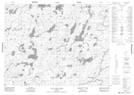
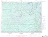
Rivière Chibougamau NTS Map Sheets

032G12 Lac Opawica Topographic Map at 1:50,000 scale

032G13 Lac Inconnu Topographic Map at 1:50,000 scale

032G14 Lac Des Orignaux Topographic Map at 1:50,000 scale

032G15 Chapais Topographic Map at 1:50,000 scale

032G16 Chibougamau Topographic Map at 1:50,000 scale

032J01 Lac Waconichi Topographic Map at 1:50,000 scale

032J03 Lac A L'Eau Noire Topographic Map at 1:50,000 scale

032G Chibougamau Topographic Map at 1:250,000 scale

032J Lac Assinica Topographic Map at 1:250,000 scale

 
Buy Topographic Maps DVD
Newsletter Sign-up

Yes, I want to receive map store discounts.


Bookmark and Share