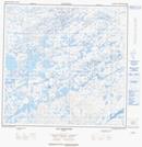
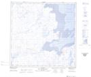
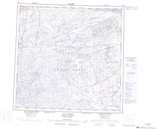
Maps showing Lac au Chien Rouge, Rivière-Koksoak; Kativik, Quebec
Lac au Chien Rouge is a Lake located in Rivière-Koksoak; Kativik, Quebec and has an elevation of 78 meters.
- Latitude: 59° 17' 22'' North (decimal: 59.2893736)
- Longitude: 69° 57' 46'' West (decimal: -69.9628848)
- Topography Feature Category: Lake
- Geographical Feature: Lac
- Canadian Province/Territory: Quebec
- Elevation: 78 meters
- Location: Rivière-Koksoak; Kativik
- Atlas of Canada Locator Map: Lac au Chien Rouge
- GPS Coordinate Locator Map: Lac au Chien Rouge Lat/Long
Lac au Chien Rouge NTS Map Sheets