Maps showing Rivière Coast, Baie-d'Hudson; Kativik, Quebec
Rivière Coast is a River located in Baie-d'Hudson; Kativik, Quebec.
- Latitude: 55° 19' 24'' North (decimal: 55.3233333)
- Longitude: 76° 54' 52'' West (decimal: -76.9144444)
- Topography Feature Category: River
- Geographical Feature: Rivière
- Canadian Province/Territory: Quebec
- Location: Baie-d'Hudson; Kativik
- GPS Coordinate Locator Map: Rivière Coast Lat/Long
Rivière Coast NTS Map Sheets
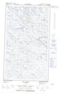
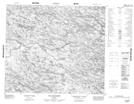
033N06E Lac Le Bel Topographic Map at 1:50,000 scale
033N06W Lac Le Bel Topographic Map at 1:50,000 scale
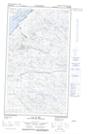
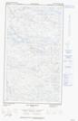
033N07E Lac Thibault Topographic Map at 1:50,000 scale
033N07W Lac Thibault Topographic Map at 1:50,000 scale
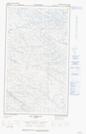
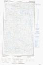
033N09 Lac De Gannes Topographic Map at 1:50,000 scale
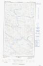
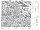
033N10E Lac Robitaille Topographic Map at 1:50,000 scale
033N10W Lac Robitaille Topographic Map at 1:50,000 scale
033O12 Lac Isabelle Topographic Map at 1:50,000 scale
033N Poste-De-La-Baleine Topographic Map at 1:250,000 scale
033O Lac Montrochand Topographic Map at 1:250,000 scale