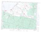
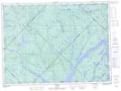
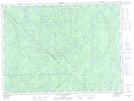
Maps showing Lac Coulombe, La Tuque; Le Haut-Saint-Maurice, Quebec
Lac Coulombe is a Lake located in La Tuque; Le Haut-Saint-Maurice, Quebec and has an elevation of 416 meters.
- Latitude: 48° 0' 17'' North (decimal: 48.0047222)
- Longitude: 73° 25' 15'' West (decimal: -73.4208333)
- Topography Feature Category: Lake
- Geographical Feature: Lac
- Canadian Province/Territory: Quebec
- Elevation: 416 meters
- Location: La Tuque; Le Haut-Saint-Maurice
- Atlas of Canada Locator Map: Lac Coulombe
- GPS Coordinate Locator Map: Lac Coulombe Lat/Long
Lac Coulombe NTS Map Sheets