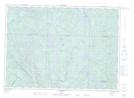
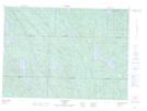
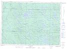
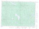
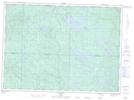
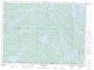
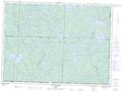
Maps showing Rivière Coulonge, Mansfield-et-Pontefract; Pontiac, Quebec
Rivière Coulonge is a River located in Mansfield-et-Pontefract; Pontiac, Quebec and has an elevation of 246 meters.
- Latitude: 45° 51' 51'' North (decimal: 45.8642232)
- Longitude: 76° 45' 34'' West (decimal: -76.7594327)
- Topography Feature Category: River
- Geographical Feature: Rivière
- Canadian Province/Territory: Quebec
- Elevation: 246 meters
- Location: Mansfield-et-Pontefract; Pontiac
- Atlas of Canada Locator Map: Rivière Coulonge
- GPS Coordinate Locator Map: Rivière Coulonge Lat/Long
Rivière Coulonge NTS Map Sheets
031F15 Fort-Coulonge Topographic Map at 1:50,000 scale
031K02 Lac Usborne Topographic Map at 1:50,000 scale
031K07 Lac Duval Topographic Map at 1:50,000 scale
031K10 Lac Doolittle Topographic Map at 1:50,000 scale
031K11 Lac Bruce Topographic Map at 1:50,000 scale
031K14 Lac Brule Topographic Map at 1:50,000 scale
031N02 Lac Jean-Pere Topographic Map at 1:50,000 scale
031N03 Lac Nichcotea Topographic Map at 1:50,000 scale
031F Pembroke Topographic Map at 1:250,000 scale
031K Deep River Topographic Map at 1:250,000 scale
031N Grand-Lac-Victoria Topographic Map at 1:250,000 scale