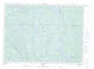
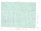
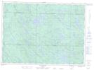
Maps showing Rivière Coulonge Est, Mansfield-et-Pontefract; Pontiac, Quebec
Rivière Coulonge Est is a River located in Mansfield-et-Pontefract; Pontiac, Quebec and has an elevation of 302 meters.
- Latitude: 46° 6' 28'' North (decimal: 46.1078340)
- Longitude: 76° 42' 49'' West (decimal: -76.7135979)
- Topography Feature Category: River
- Geographical Feature: Rivière
- Canadian Province/Territory: Quebec
- Elevation: 302 meters
- Location: Mansfield-et-Pontefract; Pontiac
- Atlas of Canada Locator Map: Rivière Coulonge Est
- GPS Coordinate Locator Map: Rivière Coulonge Est Lat/Long
Rivière Coulonge Est NTS Map Sheets