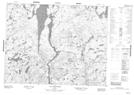
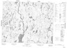
Maps showing Petite rivière Croche, Mont-Valin; Le Fjord-du-Saguenay, Quebec
Petite rivière Croche is a River located in Mont-Valin; Le Fjord-du-Saguenay, Quebec.
- Latitude: 50° 42' 34'' North (decimal: 50.7095244)
- Longitude: 71° 16' 15'' West (decimal: -71.2709055)
- Topography Feature Category: River
- Geographical Feature: Rivière
- Canadian Province/Territory: Quebec
- Location: Mont-Valin; Le Fjord-du-Saguenay
- GPS Coordinate Locator Map: Petite rivière Croche Lat/Long
Petite rivière Croche NTS Map Sheets