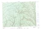
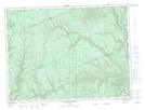
Maps showing Ruisseau Culvert, Rivière-Nouvelle; Avignon, Quebec
Ruisseau Culvert is a River located in Rivière-Nouvelle; Avignon, Quebec and has an elevation of 352 meters.
- Latitude: 48° 22' 38'' North (decimal: 48.3772699)
- Longitude: 66° 30' 28'' West (decimal: -66.5077362)
- Topography Feature Category: River
- Geographical Feature: Ruisseau
- Canadian Province/Territory: Quebec
- Elevation: 352 meters
- Location: Rivière-Nouvelle; Avignon
- Atlas of Canada Locator Map: Ruisseau Culvert
- GPS Coordinate Locator Map: Ruisseau Culvert Lat/Long
Ruisseau Culvert NTS Map Sheets