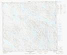
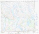
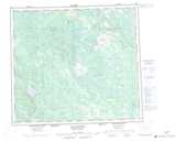
Maps showing Lac Curaillon, Rivière-Koksoak; Kativik, Quebec
Lac Curaillon is a Lake located in Rivière-Koksoak; Kativik, Quebec.
- Latitude: 56° 1' 7'' North (decimal: 56.0186111)
- Longitude: 67° 12' 31'' West (decimal: -67.2086111)
- Topography Feature Category: Lake
- Geographical Feature: Lac
- Canadian Province/Territory: Quebec
- Location: Rivière-Koksoak; Kativik
- Atlas of Canada Locator Map: Lac Curaillon
- GPS Coordinate Locator Map: Lac Curaillon Lat/Long
Lac Curaillon NTS Map Sheets