Maps showing Rivière Déception Est, Rivière-Koksoak; Kativik, Quebec
Rivière Déception Est is a River located in Rivière-Koksoak; Kativik, Quebec.
- Latitude: 61° 43' 39'' North (decimal: 61.7275174)
- Longitude: 73° 42' 26'' West (decimal: -73.7071901)
- Topography Feature Category: River
- Geographical Feature: Rivière
- Canadian Province/Territory: Quebec
- Location: Rivière-Koksoak; Kativik
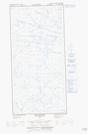
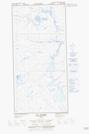
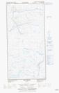
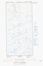
- Atlas of Canada Locator Map: Rivière Déception Est
- GPS Coordinate Locator Map: Rivière Déception Est Lat/Long
Rivière Déception Est NTS Map Sheets