Canada Topographic Maps

Lac Deroussel Topo Maps

Topography maps and Latitude/Longitude Location

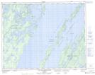
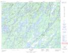
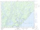
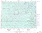
Maps showing Lac Deroussel, Baie-James; Jamésie, Quebec

Lac Deroussel is a Lake located in Baie-James; Jamésie, Quebec and has an elevation of 396 meters.

  • Latitude: 50° 58' 49'' North   (decimal: 50.9802778)
  • Longitude: 73° 59' 5'' West   (decimal: -73.9847222)
  • Topography Feature Category: Lake
  • Geographical Feature: Lac
  • Canadian Province/Territory: Quebec
  • Elevation: 396 meters
  • Location: Baie-James; Jamésie
  • Atlas of Canada Locator Map: Lac Deroussel
  • GPS Coordinate Locator Map: Lac Deroussel Lat/Long

Lac Deroussel NTS Map Sheets

032I13 Ile Guillaume-Couture Topographic Map at 1:50,000 scale

032J16 Lac Bueil Topographic Map at 1:50,000 scale

032P04 Ile Peuvereau Topographic Map at 1:50,000 scale

032I Baie Abatagouche Topographic Map at 1:250,000 scale

032J Lac Assinica Topographic Map at 1:250,000 scale

032P Lac Baudeau Topographic Map at 1:250,000 scale

 
Buy Topographic Maps DVD
Newsletter Sign-up

Yes, I want to receive map store discounts.


Bookmark and Share