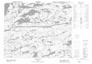
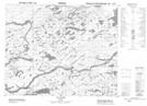
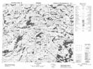
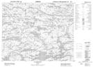
Maps showing Rivière à l'Eau Claire, Baie-James; Jamésie, Quebec
Rivière à l'Eau Claire is a River located in Baie-James; Jamésie, Quebec and has an elevation of 240 meters.
- Latitude: 52° 12' 25'' North (decimal: 52.2069444)
- Longitude: 75° 53' 38'' West (decimal: -75.8938889)
- Topography Feature Category: River
- Geographical Feature: Rivière
- Canadian Province/Territory: Quebec
- Elevation: 240 meters
- Location: Baie-James; Jamésie
- Atlas of Canada Locator Map: Rivière à l'Eau Claire
- GPS Coordinate Locator Map: Rivière à l'Eau Claire Lat/Long
Rivière à l'Eau Claire NTS Map Sheets