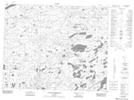
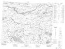
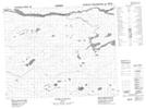
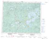
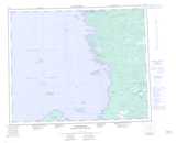
Maps showing Rivière à l'Eau Froide, Eastmain; Jamésie, Quebec
Rivière à l'Eau Froide is a River located in Eastmain; Jamésie, Quebec and has an elevation of 63 meters.
- Latitude: 52° 13' 28'' North (decimal: 52.2244444)
- Longitude: 78° 12' 52'' West (decimal: -78.2144444)
- Topography Feature Category: River
- Geographical Feature: Rivière
- Canadian Province/Territory: Quebec
- Elevation: 63 meters
- Location: Eastmain; Jamésie
- Atlas of Canada Locator Map: Rivière à l'Eau Froide
- GPS Coordinate Locator Map: Rivière à l'Eau Froide Lat/Long
Rivière à l'Eau Froide NTS Map Sheets