Canada Topographic Maps

Rivière Ell Topo Maps

Topography maps and Latitude/Longitude Location

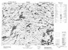
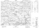
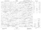
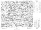
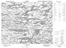
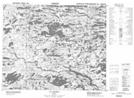
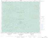
Maps showing Rivière Ell, Baie-James; Jamésie, Quebec

Rivière Ell is a River located in Baie-James; Jamésie, Quebec.

  • Latitude: 52° 35' 57'' North   (decimal: 52.5991667)
  • Longitude: 75° 56' 15'' West   (decimal: -75.9375)
  • Topography Feature Category: River
  • Geographical Feature: Rivière
  • Canadian Province/Territory: Quebec
  • Location: Baie-James; Jamésie
  • GPS Coordinate Locator Map: Rivière Ell Lat/Long

Rivière Ell NTS Map Sheets

033B05 Lac Le Caron Topographic Map at 1:50,000 scale

033B06 Lac Baupaume Topographic Map at 1:50,000 scale

033B07 Lac Conviac Topographic Map at 1:50,000 scale

033B09 Lac Senarmont Topographic Map at 1:50,000 scale

033B10 Lac Desdames Topographic Map at 1:50,000 scale

033B12 Lac Gladman Topographic Map at 1:50,000 scale

033B Lac Lichteneger Topographic Map at 1:250,000 scale

 
Buy Topographic Maps DVD
Newsletter Sign-up

Yes, I want to receive map store discounts.


Bookmark and Share